
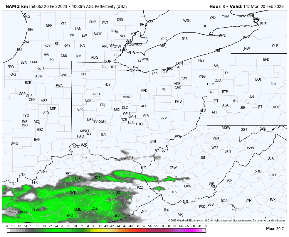
While this morning’s rain didn’t pan out as the air remained drier than anticipated, we will begin to see scattered showers develop across the region late this afternoon and evening. These will persist into the early overnight hours before coming to an end. Another batch of rain then moves through our northern counties before exiting. This moves through very quickly. Finally, our next chance for showers will be early Wednesday morning as a warm front lists across the area. Scattered showers are once again expected throughout the morning and early afternoon hours on Wednesday. Who’s ready for some spring-like weather this week?
Bring on Spring!
Things really warm up Wednesday and especially Thursday as warm air surges northward across the Mid Ohio Valley. Spring-like weather with highs in the 70s are looking quite possible on Thursday, with highs in the upper 70s across our southern counties. Yes you read that right – highs in the upper 70s in February. A quick taste of spring indeed!
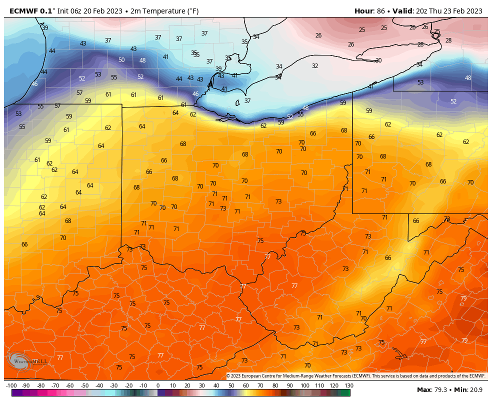
Of course, we’ll see some rain with this warm weather, but generally in the morning. It will also be quite breezy with a southwest wind of 15-20 MPH and wind gusts in the 30 MPH range. But don’t get too used to all this warmth. By Friday, we’re thrown back into reality – it’s still winter after all – as highs will only reach the mid to upper 30s.
For all the latest information, follow us on Facebook: https://www.facebook.com/MOVWeatherUpdate