
Happy Monday everyone! What a way to start the work week right? We know a lot of eyes are on how the week finishes, but first we have to get through what may be an active day today! Let’s start off with the Severe Weather Outlook (SWO) issues by the Storm Prediction Center (SPC) as of 8am this morning:
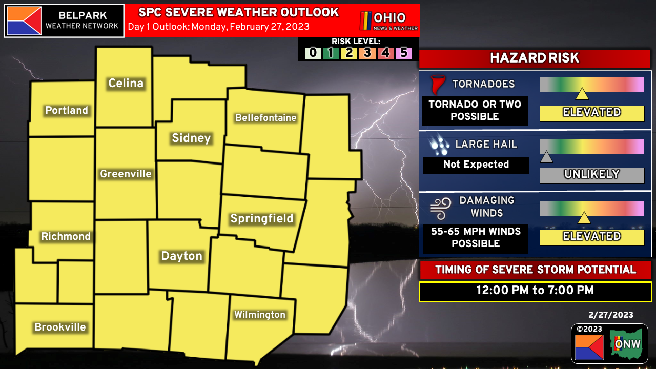
The entire area is under a slight risk of severe weather, which is a level 2 out of 5 on the SPC’s scale. This is a pretty standard risk that get’s issued, and not totally uncommon around here this time of year! Damaging winds are the primary hazard, but an isolated tornado or two can’t be ruled out. Now lets talk some of the more technical aspects!
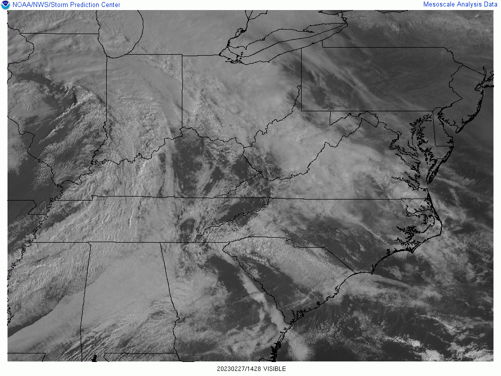
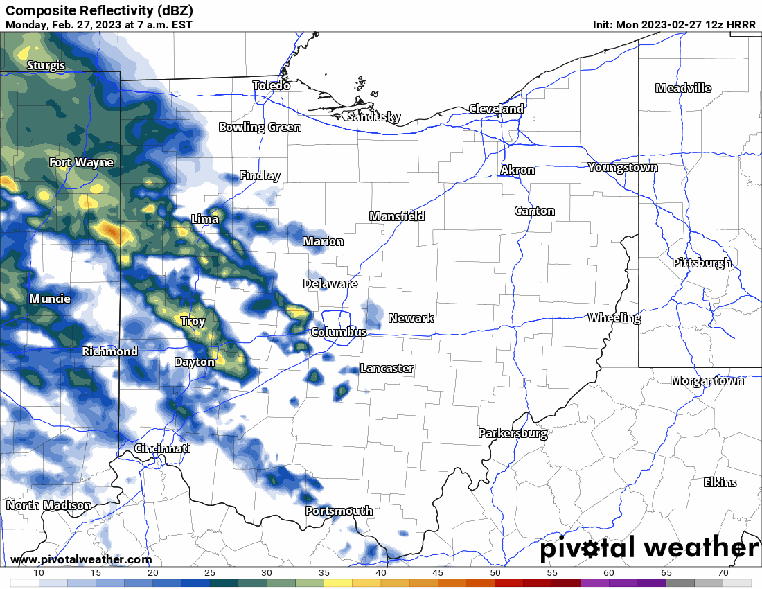
This morning things are looking pretty cloudy, pretty wet, and pretty cool across the region. Surface observations indicate temperatures in the mid 40s near Celina to about 50 near Dayton. Rain showers continue to move through and will on and off through the morning. A breeze out of the Southeast this morning is helping to bring moisture into the region. Dewpoints are generally in the mid 40s but are expected to climb into the upper 50s for most of the area by later this afternoon.
The GIF above shows simulated radar starting this morning and running through this evening. A few things to note here:
- First and foremost: This is a best guess at what the radar could look like and not an exact representation of what will actually happen.
- After our early morning round of showers move out, we may see a brief break before the next round moves in around 11am or so, maybe a bit earlier in our Indiana counties. This line has the potential for some strong winds as it moves through.
- Around 2pm or so, as the above mentioned line moves out, new storms will begin to develop across the area. This will need to be watched as they will be more discreet, which would yield the best potential for a tornado or two.
- All of the above hinges on the ability of the atmosphere to destabilize just enough this afternoon, which given all of the morning rain is a BIG if. We need clouds to break at some point in order to warm up and generate instability, and models suggest this may happen for a brief time sometime after noon or so. Models don’t always have the best handle on cloud cover however so there is a chance this does not happen.
One thing we will not be lacking today, thanks to our close proximity to the center of low pressure, will be wind shear. Winds aloft will be moving plenty fast enough to help generate some spin in any storm that is able to mature.
Moisture return, or moisture that is able to make it North into our area, also remains a bit in question. Dewpoints are expected to make it to the upper 50s, especially near I-70, and this is where the best combination of heating and moisture will overlap leading to the greatest instability values this afternoon. If less moisture makes it into the area or we do not heat into the 60s, there is a good chance severe weather does not pan out. There are some models that do suggest this will be the case and the day will overall be just breezy and wet.
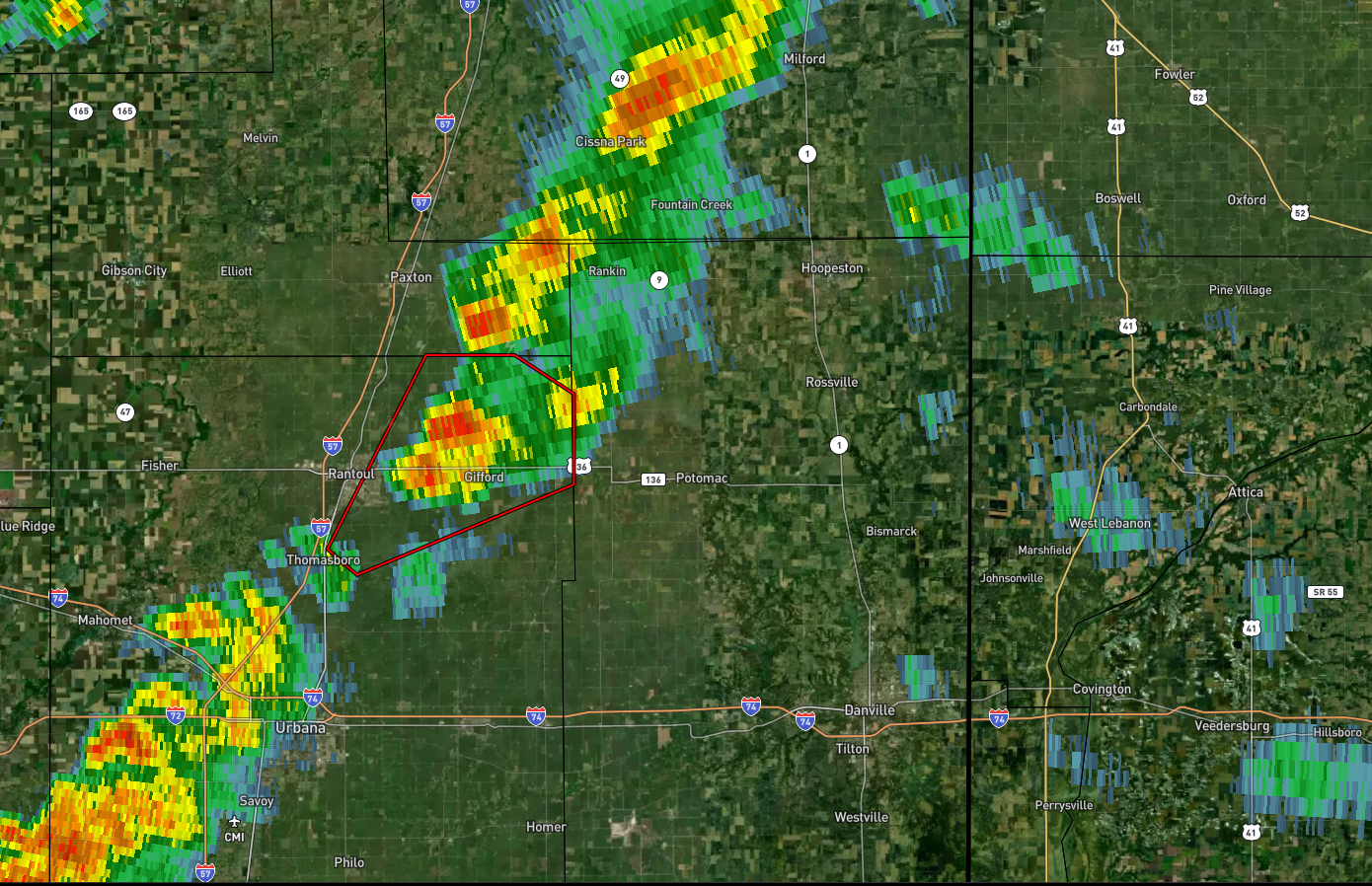
At the moment, there have been a few severe storms back in Illinois, including a confirmed tornado, where the dynamics are a little bit better and they have gotten some sun already this morning. Some of that will head our way as the cold front approaches from the West.
RECAP: Strong to severe storms are possible later this afternoon and into the evening across our area. The best chance looks to be between 12pm and 7pm or so working from West to East. Damaging winds are the main threat but an isolated tornado or two is also possible. The severe threat hinges on any breaks in the clouds we are able to get this afternoon as we will need a little warming to get robust storm development. Otherwise, standard shows and storms with gusty winds can be expected.
Stay with us for continued updates through the day! You can find us on Facebook and our website belparkmedia.com !